46
Simple Insanity / Freedom Air Charter Flight Across Beauty Of New Zealand
« on: July 20, 2019, 10:30:30 AM »
Shalom and greetings all my pals,
Presenting a nice Freedom Air charter flight using waypoint route ORE TM PIP EU PPN PP TY DAMBO CABLE PEGSA from NZHN Hamilton Airport located 14 kilometres south of the city of Hamilton in New Zealand to NZWN Wellington International Airport located in the suburb of Rongotai 3 nautical miles south-east from the city centre of Wellington which is the capital city of the country.
Getting fueled while being boarded with passengers

Nice view of the airport terminal

Finished loading the plane with luggages

Checking to be sure there is no late passenger for this flight

Another terrific view of the airport

Calling the airport control tower for IRF clearance

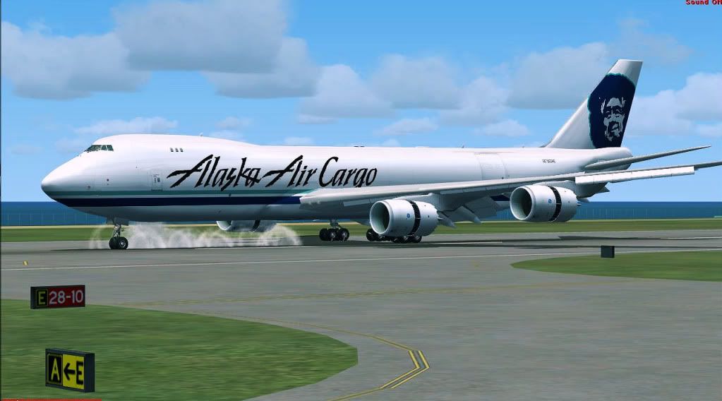
IRF clearance granted and now being pushed back

Airport tower informed me of 30 minute delay due to above wind limit for airport of destination so waiting at the apron

While waiting, passengers are treated to view of cows and some restuarant

Dig this firehouse

Another nice view

Airport tower informing me that winds have gone below the limit of the airport of destination and it is time to start engines!

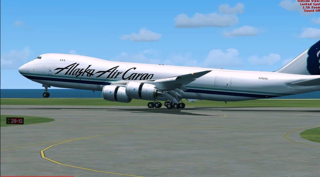
Here is very exclusive view of BRAND NEW tires from which you can tell from chalk writing it is BRAND NEW TIRES

Starting to taxi to short of runway 34R

Leaving passenger apron

Holding short of runway 34R waiting for clearance to enter into runway

Entering into runway 34R for more taxi and backtrack (good thing there is no taxi speed limit for runways)

Look at nice buildings in background during taxi

Backtracking!!!

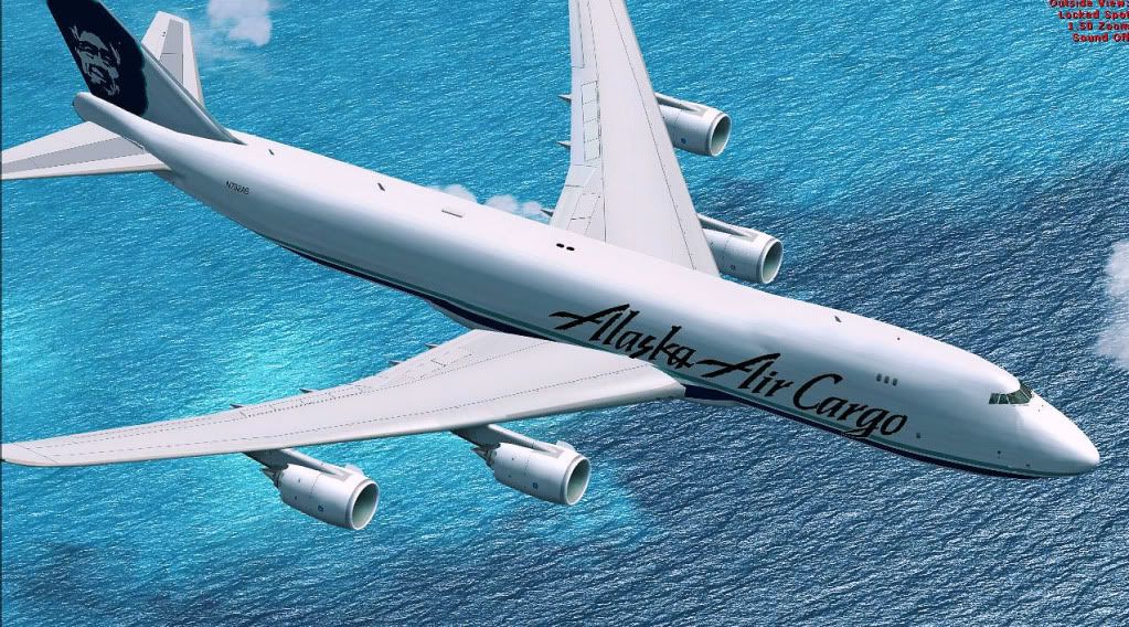
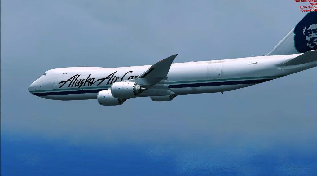
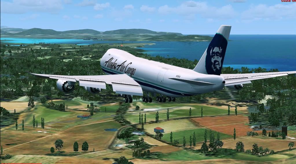
Airborne on climb to FL200 with background view of suburb of Glenview of city of Hamilton

Making left turn toward south

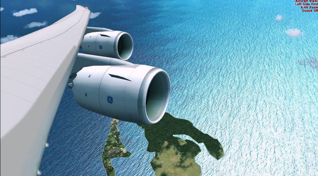
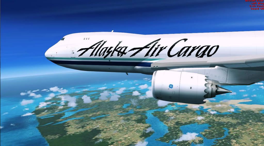
Nice wing view of richness of green pastures

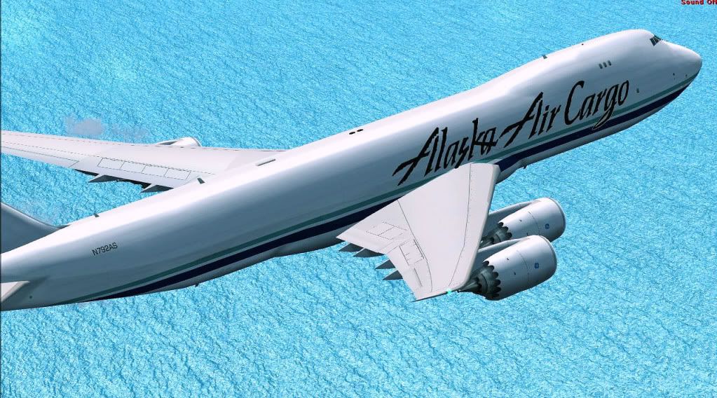
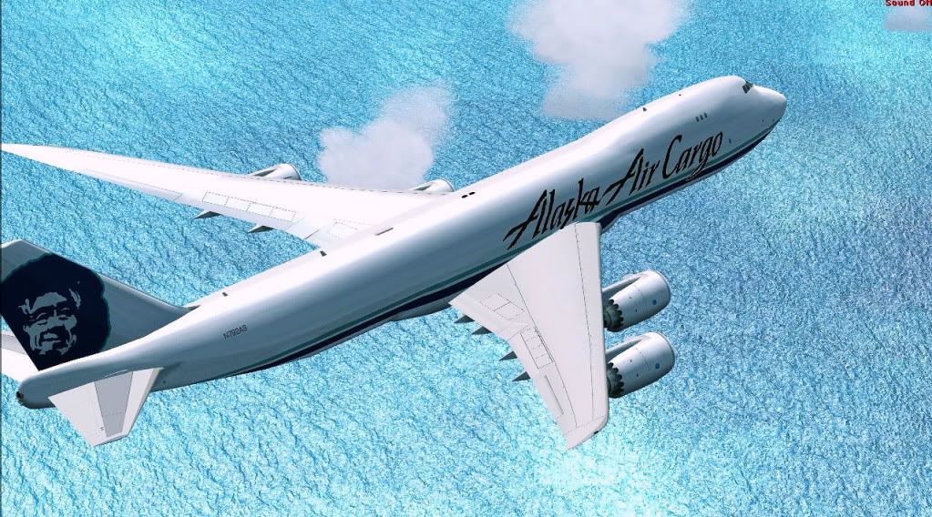
Flying through clouds can be darn fun!

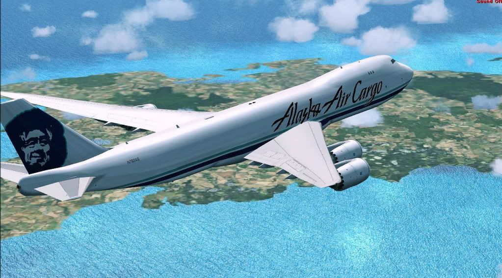
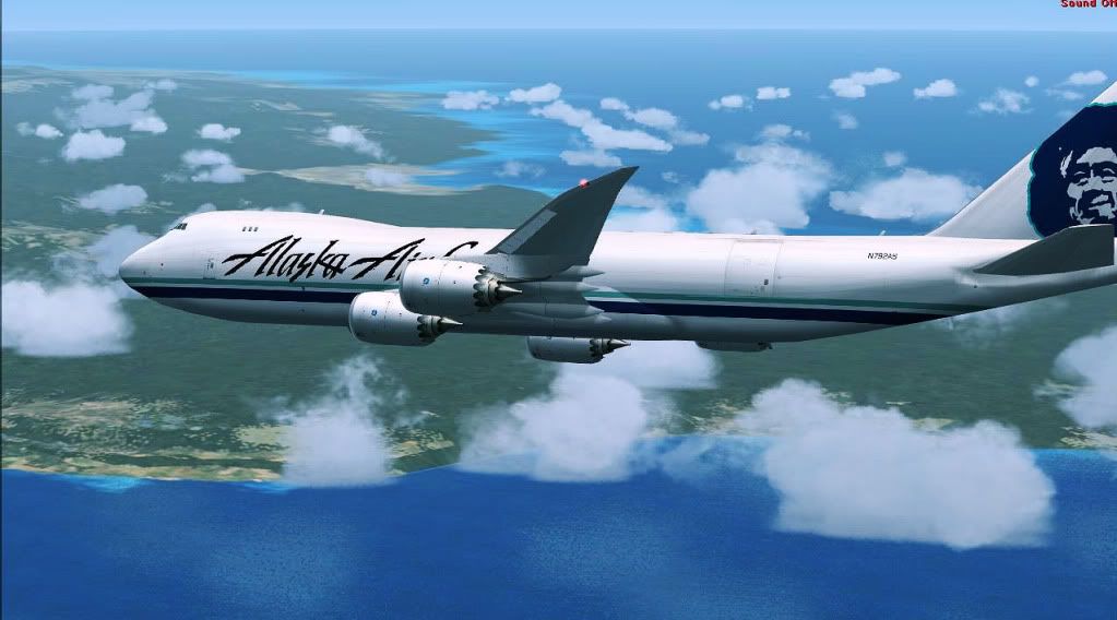
Passing Harrowfield suburb of city of Hamilton where you can see Waikato river and the bridge called Wairere Drive

Passing entire view of city of Hamilton and its Waikato river where you can see below the plane nose business district called Te Rapa and Horseshoe Lake

Passing race track of Te Rapa Waikato Racing Club where The International Stakes is held early February every year

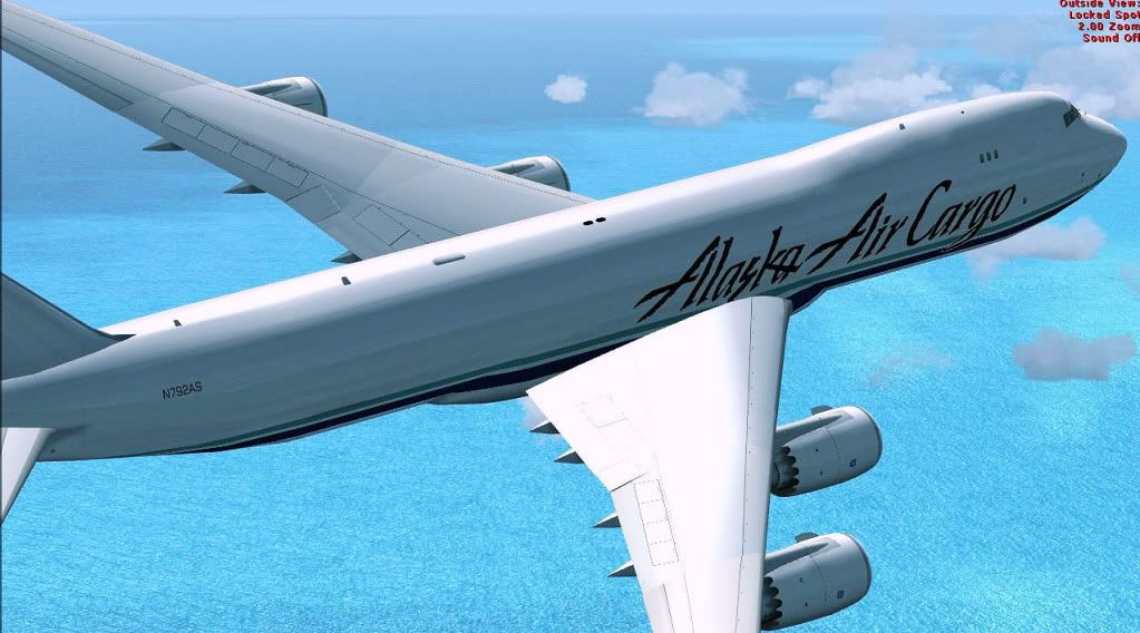
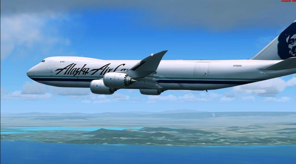
Cruising at FL200

Forgot the location and name of this lake (sorry) but I think it is Western Bay section of Lake Taupo

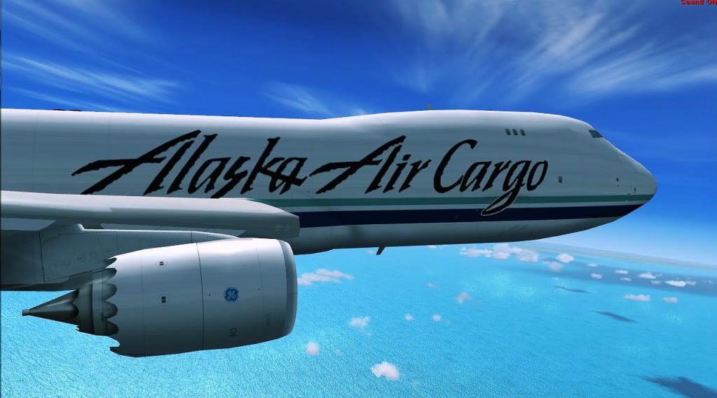
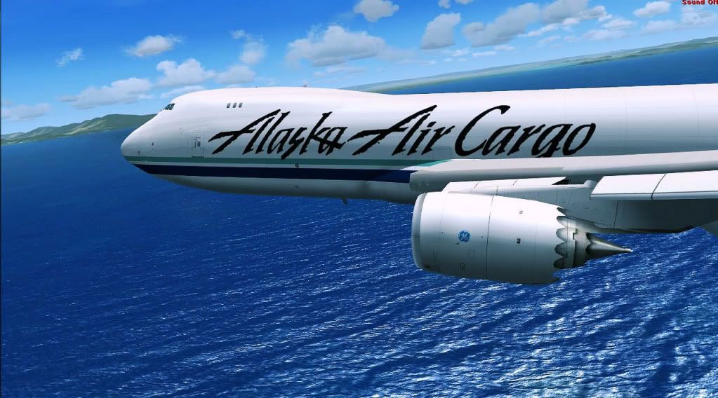
Cruising with sun following the plane

Entering waters of South Taranaki Bight

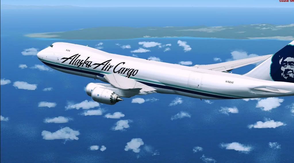
Cruising above waters of Cook Strait along western shore of North Island with background view of mountains or hills of Tararua Forest Park

Passing Rangitikkei River seen above the plane with green forests of Parewanui behind the tail of the plane

Passing town of Waikanae Beach where you can see Wildlife Refuge Park next to letter F on the right side of plane and Waikanae river in front of right engine

Passing city of Paraparaumu and its NZPP Kapiti Coast Airport

Passing rich greenness of Akatarawa Forest


Passing city of Paremata shown on left side of the plane and Mana Esplanade Highway across the screenshot where you can see on left side of tail of the plane waters of Porirua Harbour

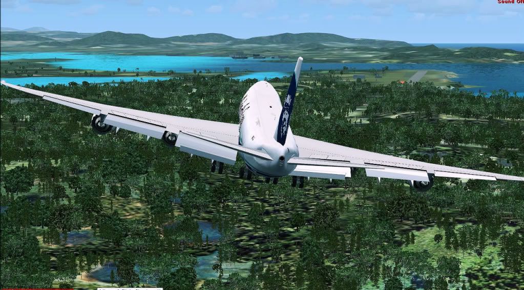
More greenness

City of Wellington seen in front of engine

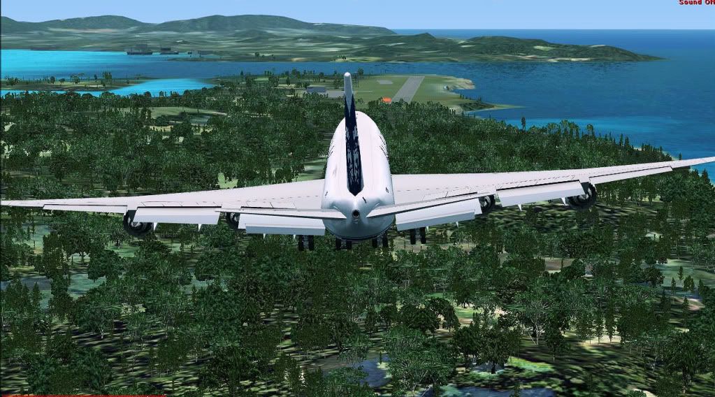
Airport of destination can be seen below the tail

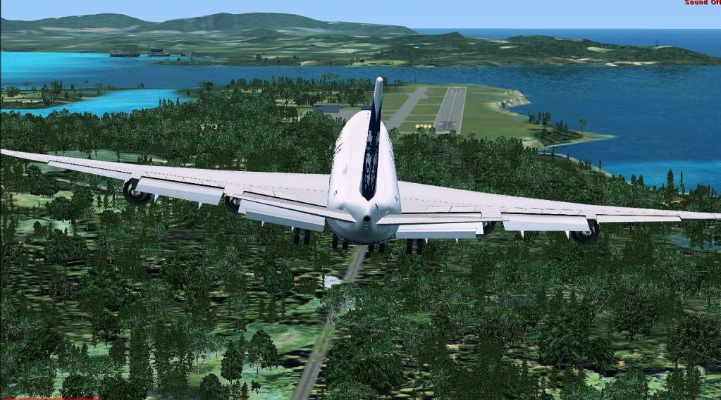
Above waters of Cook Strait getting ready for left 180 degree turn toward runway 34

Time to make left turn!

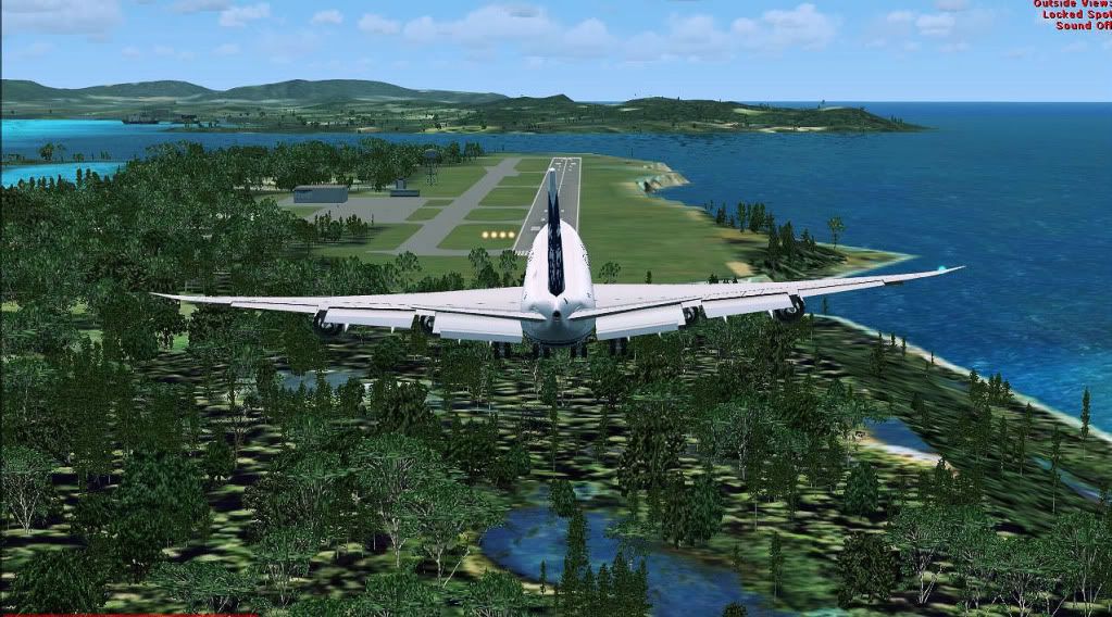
Deploying landing gear above waters of Fitzroy Bay

Seconds before landing with background view of fuel storage tanks and DHL terminal

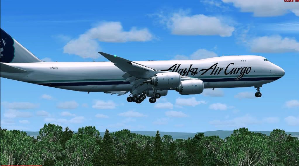
Seconds before touchdown

Check out Air New Zealand cargo terminal

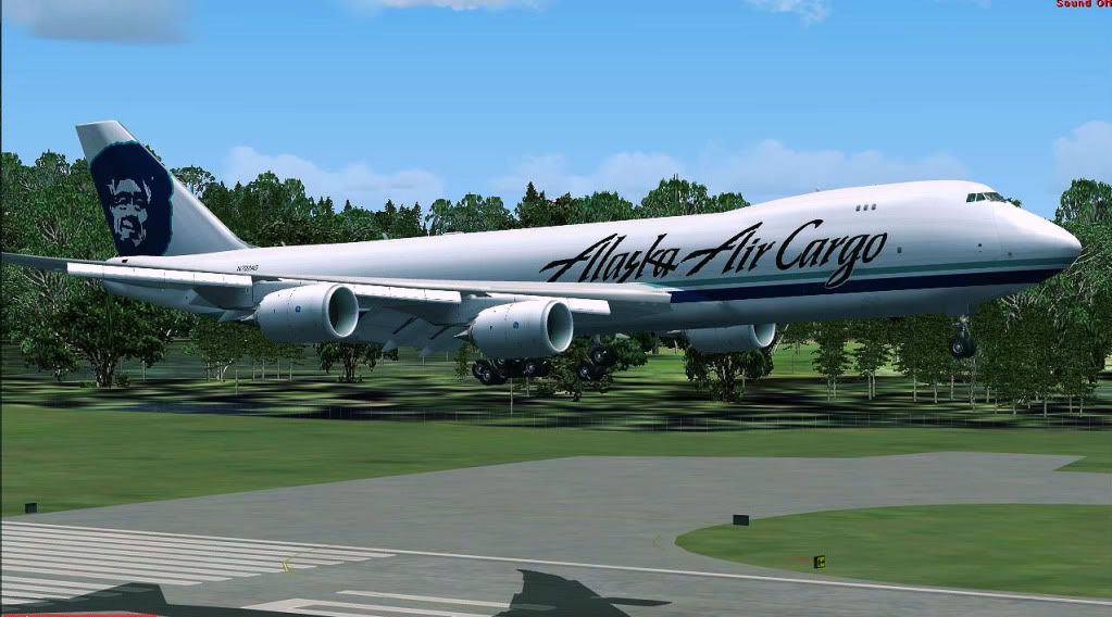
TOUCHDOWN


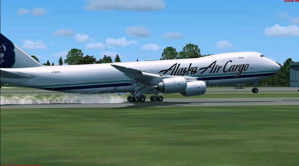
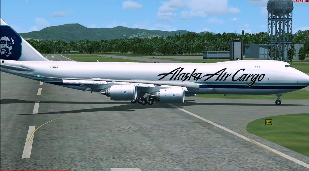
Braking down with nice background view of various hangars


Exiting from runway to taxiway on way to gate 16

Taxiing toward gate


Terminal ahead!

Picking path toward gate 16


Approaching gate 16

Arriving at gate

Docked to gate

Thank you for viewing! Stay tuned for next exciting flight.
Regards,
Aharon
Presenting a nice Freedom Air charter flight using waypoint route ORE TM PIP EU PPN PP TY DAMBO CABLE PEGSA from NZHN Hamilton Airport located 14 kilometres south of the city of Hamilton in New Zealand to NZWN Wellington International Airport located in the suburb of Rongotai 3 nautical miles south-east from the city centre of Wellington which is the capital city of the country.
Getting fueled while being boarded with passengers
Nice view of the airport terminal
Finished loading the plane with luggages
Checking to be sure there is no late passenger for this flight
Another terrific view of the airport
Calling the airport control tower for IRF clearance
IRF clearance granted and now being pushed back
Airport tower informed me of 30 minute delay due to above wind limit for airport of destination so waiting at the apron
While waiting, passengers are treated to view of cows and some restuarant
Dig this firehouse
Another nice view
Airport tower informing me that winds have gone below the limit of the airport of destination and it is time to start engines!
Here is very exclusive view of BRAND NEW tires from which you can tell from chalk writing it is BRAND NEW TIRES
Starting to taxi to short of runway 34R
Leaving passenger apron
Holding short of runway 34R waiting for clearance to enter into runway
Entering into runway 34R for more taxi and backtrack (good thing there is no taxi speed limit for runways)
Look at nice buildings in background during taxi
Backtracking!!!
Airborne on climb to FL200 with background view of suburb of Glenview of city of Hamilton
Making left turn toward south
Nice wing view of richness of green pastures
Flying through clouds can be darn fun!
Passing Harrowfield suburb of city of Hamilton where you can see Waikato river and the bridge called Wairere Drive
Passing entire view of city of Hamilton and its Waikato river where you can see below the plane nose business district called Te Rapa and Horseshoe Lake
Passing race track of Te Rapa Waikato Racing Club where The International Stakes is held early February every year
Cruising at FL200
Forgot the location and name of this lake (sorry) but I think it is Western Bay section of Lake Taupo
Cruising with sun following the plane
Entering waters of South Taranaki Bight
Cruising above waters of Cook Strait along western shore of North Island with background view of mountains or hills of Tararua Forest Park
Passing Rangitikkei River seen above the plane with green forests of Parewanui behind the tail of the plane
Passing town of Waikanae Beach where you can see Wildlife Refuge Park next to letter F on the right side of plane and Waikanae river in front of right engine
Passing city of Paraparaumu and its NZPP Kapiti Coast Airport
Passing rich greenness of Akatarawa Forest
Passing city of Paremata shown on left side of the plane and Mana Esplanade Highway across the screenshot where you can see on left side of tail of the plane waters of Porirua Harbour
More greenness
City of Wellington seen in front of engine
Airport of destination can be seen below the tail
Above waters of Cook Strait getting ready for left 180 degree turn toward runway 34
Time to make left turn!
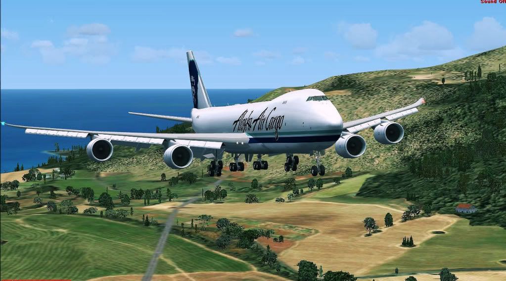
Deploying landing gear above waters of Fitzroy Bay
Seconds before landing with background view of fuel storage tanks and DHL terminal
Seconds before touchdown
Check out Air New Zealand cargo terminal
TOUCHDOWN
Braking down with nice background view of various hangars
Exiting from runway to taxiway on way to gate 16
Taxiing toward gate
Terminal ahead!
Picking path toward gate 16
Approaching gate 16
Arriving at gate
Docked to gate
Thank you for viewing! Stay tuned for next exciting flight.
Regards,
Aharon